Geolocate

Wander topographic map

Click on the map to display elevation.

About this map

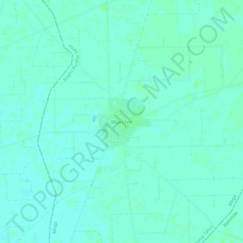
Name: Wander topographic map, elevation, terrain.

Location: Wander, Bagha Purana Tahsil, Moga District, Punjab, India (30.49317 74.98793 30.53317 75.02793)

Average elevation: 213 m

Minimum elevation: 210 m

Maximum elevation: 216 m

Gear up for your next adventure:

🛌Down Sleeping Bag - Superior warmth-to-weight ratio for cold nights
Camping Essentials - All-in-one gear for a comfortable camping trip
🧊Insulated Water Bottle - Keeps drinks cold in summer and prevents freezing in winter
🚲Handlebar Phone Mount - View topographic-map.com live while cycling
🧦Hiking Liner Socks - Thin base layer to prevent friction and blisters

As an Amazon Associate, this site earns from qualifying purchases at no extra cost to you.