Geolocate

Forest City topographic map

Click on the map to display elevation.

About this map
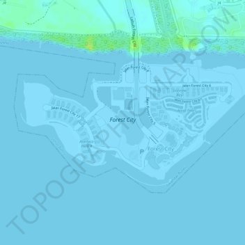
Name: Forest City topographic map, elevation, terrain.

Location: Forest City, Kampung Tanjung Kupang, Iskandar Puteri, Johor Bahru, Johor, Malaysia (1.33053 103.57530 1.34474 103.60286)

Average elevation: 1 m

Minimum elevation: 0 m

Maximum elevation: 14 m

Other topographic maps

Click on a map to view its topography, its elevation and its terrain.

Gear up for your next adventure:

💧Collapsible Water Bottle - Space-saving water bottle for outdoor activities
🧴Outdoor Sunscreen - High SPF protection for high-altitude UV exposure
🧥Fleece Jacket - Warm and lightweight jacket for layering
🥾Trail Hiking Socks - Comfortable socks to prevent blisters and fatigue
👟Sport Hiking Sandals - Breathable footwear for water crossings and camp rest

As an Amazon Associate, this site earns from qualifying purchases at no extra cost to you.