
West Bethel topographic map
Interactive map
Click on the map to display elevation.
About this map
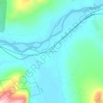
Name: West Bethel topographic map, elevation, terrain.
Average elevation: 252 m
Minimum elevation: 191 m
Maximum elevation: 520 m
Other topographic maps
Click on a map to view its topography, its elevation and its terrain.
Sunday River
United States > Maine > Oxford County > Bethel
Sunday River, Bethel, Oxford County, Maine, 04217, United States
Average elevation: 279 m