
Alma topographic map
Click on the map to display elevation.
About this map
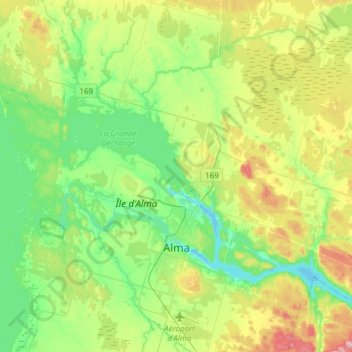
Name: Alma topographic map, elevation, terrain.
Average elevation: 129 m
Minimum elevation: 66 m
Maximum elevation: 261 m
Lac-Saint-Jean-Est trails, hiking, mountain biking, running and outdoor activities
Other topographic maps
Click on a map to view its topography, its elevation and its terrain.