Geolocate

Muscoy topographic map

Click on the map to display elevation.

Muscoy

Muscoy is located at 34°9′22″N 117°20′48″W / 34.15611°N 117.34667°W / 34.15611; -117.34667 (34.156009, -117.346552). Elevation ranges from 1240' in the south to 1600' in the north.

Wikipedia (CC-BY-SA 3.0)

About this map

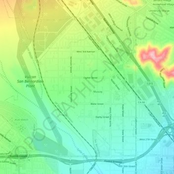
Name: Muscoy topographic map, elevation, terrain.

Location: Muscoy, Rialto, San Bernardino County, California, United States (34.13599 -117.38940 34.17448 -117.33102)

Average elevation: 433 m

Minimum elevation: 366 m

Maximum elevation: 564 m

Gear up for your next adventure:

Backpacking Tent - Lightweight tent for long-distance hiking trips
🧦Hiking Socks - Moisture-wicking and comfortable socks for long hikes
🥘Camping Cookware Set - Compact nesting pots and pans for trail cooking
💧Filtered Water Bottle - Safe drinking water on the go
🦶Anti-Blister Balm - Prevents friction and hotspots during long ascents

As an Amazon Associate, this site earns from qualifying purchases at no extra cost to you.