
Thank you for supporting this site ❤️
Make a donation
Make a donation
Gear up for your next adventure:
As an Amazon Associate, this site earns from qualifying purchases at no extra cost to you.
Paghuliran topographic map
Click on the map to display elevation.
Thank you for supporting this site ❤️
Make a donation
Make a donation
Gear up for your next adventure:
As an Amazon Associate, this site earns from qualifying purchases at no extra cost to you.
About this map
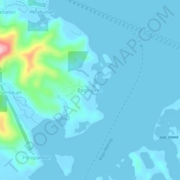
Name: Paghuliran topographic map, elevation, terrain.
Location: Paghuliran, Sorsogon, Bicol Region, 4708, Philippines (12.54295 124.07470 12.58295 124.11470)
Average elevation: 20 m
Minimum elevation: -2 m
Maximum elevation: 239 m
Thank you for supporting this site ❤️
Make a donation
Make a donation
Gear up for your next adventure:
As an Amazon Associate, this site earns from qualifying purchases at no extra cost to you.