Geolocate

Waddell topographic map

Click on the map to display elevation.

About this map

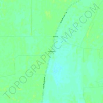
Name: Waddell topographic map, elevation, terrain.

Location: Waddell, East Carroll Parish, Louisiana, United States (32.73235 -91.29011 32.77235 -91.25011)

Average elevation: 28 m

Minimum elevation: 22 m

Maximum elevation: 31 m

Gear up for your next adventure:

🧭GPS Outdoor Watch - Smart watch for navigation and fitness tracking in nature
💧Hydration Pack - Hands-free hydration system for long hikes
🧴Waterproofing Spray - Restore the DWR coating on jackets and tents
🥾Hiking Shorts - Breathable shorts suitable for summer hikes
🛌Insulated Sleeping Pad - Critical thermal barrier between you and the cold ground

As an Amazon Associate, this site earns from qualifying purchases at no extra cost to you.