Geolocate

Gandy topographic map

Click on the map to display elevation.

About this map

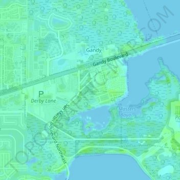
Name: Gandy topographic map, elevation, terrain.

Location: Gandy, Pinellas County, Florida, 33702, United States (27.86193 -82.62495 27.86848 -82.61708)

Average elevation: 3 m

Minimum elevation: -1 m

Maximum elevation: 8 m

Gear up for your next adventure:

🧤Insulated Winter Gloves - Heavy-duty protection for sub-zero Canadian adventures
🔭Outdoor Binoculars - Lightweight binoculars for birdwatching and hiking
🚑Survival Whistle - Signal for help across long distances in mountains
🧦Crew Hiking Socks - Comfortable socks for long-distance hikes
🥾Lightweight Hiking Boots - Boots for comfort and mobility on long hikes

As an Amazon Associate, this site earns from qualifying purchases at no extra cost to you.