
Oshodi/Isolo topographic map
Interactive map
Click on the map to display elevation.
About this map
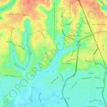
Name: Oshodi/Isolo topographic map, elevation, terrain.
Location: Oshodi/Isolo, Lagos State, 100263, Nigeria (6.48289 3.28389 6.58997 3.35219)
Average elevation: 17 m
Minimum elevation: -1 m
Maximum elevation: 42 m