Geolocate

Cimalaka topographic map

Click on the map to display elevation.

About this map

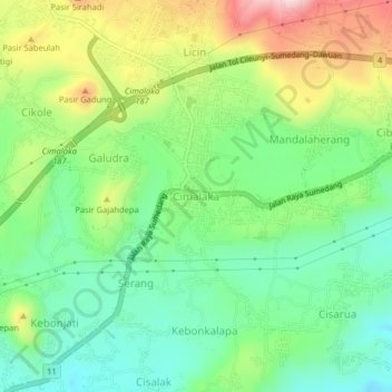
Name: Cimalaka topographic map, elevation, terrain.

Location: Cimalaka, Sumedang, West Java, Java, 45353, Indonesia (-6.83472 107.93030 -6.79472 107.97030)

Average elevation: 548 m

Minimum elevation: 433 m

Maximum elevation: 746 m

Other topographic maps

Click on a map to view its topography, its elevation and its terrain.

Situ II ITB

Indonesia > West Java > Sumedang > Jatinangor

Average elevation: 726 m

Gear up for your next adventure:

🪑Ultralight Camping Stool - Compact seating for rest stops during long hikes
🪑Insulated Seat Pad - Protect your seat from cold rocks and wet logs
🧴Waterproofing Spray - Restore the DWR coating on jackets and tents
🔨Vehicle Emergency Tool - Safety tool for remote road trips to trailheads
🧢Beanie Hat - Keep your head warm in cold weather

As an Amazon Associate, this site earns from qualifying purchases at no extra cost to you.