Geolocate

Roncaglie topographic map

Click on the map to display elevation.

About this map

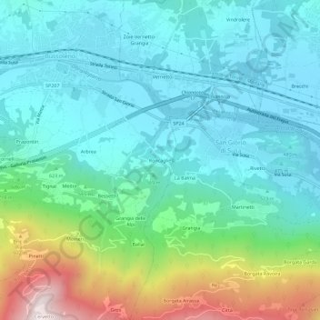
Name: Roncaglie topographic map, elevation, terrain.

Location: Roncaglie, Bussoleno, Torino, Piemonte, 10053, Italia (45.10623 7.14543 45.14623 7.18543)

Average elevation: 616 m

Minimum elevation: 409 m

Maximum elevation: 1,290 m

Gear up for your next adventure:

🔦LED Flashlight - Powerful and long-lasting flashlight for camping and emergencies
🥾Trail Hiking Boots - Supportive boots for rough trails
🕯️Camping Lantern - Illuminates your entire campsite with high-efficiency LEDs
🪑Ultralight Camping Stool - Compact seating for rest stops during long hikes
🚑Survival Whistle - Signal for help across long distances in mountains

As an Amazon Associate, this site earns from qualifying purchases at no extra cost to you.