
Thank you for supporting this site ❤️
Make a donation
Make a donation
Gear up for your next adventure:
As an Amazon Associate, this site earns from qualifying purchases at no extra cost to you.
Abourghès topographic map
Click on the map to display elevation.
Thank you for supporting this site ❤️
Make a donation
Make a donation
Gear up for your next adventure:
As an Amazon Associate, this site earns from qualifying purchases at no extra cost to you.
About this map
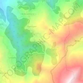
Name: Abourghès topographic map, elevation, terrain.
Location: Abourghès, Iloula Oumalou, Daïra Bouzguen, Tizi Ouzou, Algérie (36.53703 4.43956 36.57703 4.47956)
Average elevation: 1,031 m
Minimum elevation: 457 m
Maximum elevation: 1,735 m
Thank you for supporting this site ❤️
Make a donation
Make a donation
Gear up for your next adventure:
As an Amazon Associate, this site earns from qualifying purchases at no extra cost to you.