Geolocate

Lee Vining topographic map

Click on the map to display elevation.

About this map

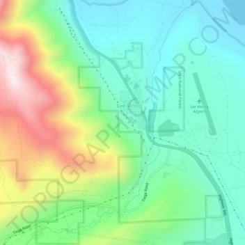
Name: Lee Vining topographic map, elevation, terrain.

Location: Lee Vining, Mono County, California, United States (37.93388 -119.15085 37.97513 -119.10068)

Average elevation: 2,205 m

Minimum elevation: 1,945 m

Maximum elevation: 2,768 m

Gear up for your next adventure:

🐕Hiking Dog Pack - Let your canine companion carry their own water and food
🧊Portable Cooler - Keep food and drinks cold during outdoor adventures
📷Outdoor Action Camera - Capture high-elevation views and rugged adventures
🔋Solar Power Bank - Keep your GPS and devices charged during long outdoor trips
🧢Hiking Hat - Sun-protective and breathable hats for long treks

As an Amazon Associate, this site earns from qualifying purchases at no extra cost to you.