Geolocate

Sonda topographic map

Click on the map to display elevation.

About this map

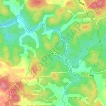
Name: Sonda topographic map, elevation, terrain.

Location: Sonda, Sirsi Taluk, Uttara Kannada District, Karnataka, India (14.72231 74.78545 14.76231 74.82545)

Average elevation: 479 m

Minimum elevation: 432 m

Maximum elevation: 540 m

Gear up for your next adventure:

Lightweight Camping Tent - Portable shelter optimized for Canadian backcountry camping
🥾Waterproof Hiking Boots - Boots keeping your feet dry in wet conditions
🥾Durable Hiking Shoes - Long-lasting shoes for frequent hiking
🧥Thermal Fleece Jacket - Versatile insulation for changing mountain temperatures
🔭Compact Monocular - One-handed bird watching and trail spotting

As an Amazon Associate, this site earns from qualifying purchases at no extra cost to you.