
Mataceña topographic map
Interactive map
Click on the map to display elevation.
About this map
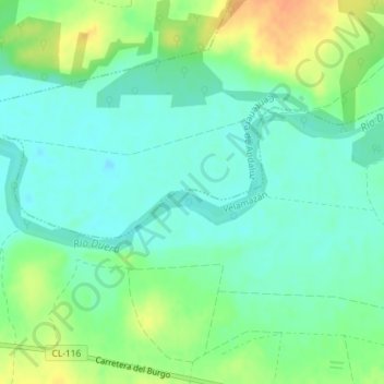
Name: Mataceña topographic map, elevation, terrain.
Location: Mataceña, Velamazán, Soria, Castille-et-León, Espagne (41.48464 -2.76365 41.50464 -2.74365)
Average elevation: 913 m
Minimum elevation: 900 m
Maximum elevation: 937 m