Geolocate

Estanque topographic map

Click on the map to display elevation.

About this map

Name: Estanque topographic map, elevation, terrain.

Location: Estanque, Grupo Cooperación, Castellón de la Plana, Plana Alta, Castellón, Comunidad Valenciana, España (39.98745 -0.04678 39.98816 -0.04623)

Average elevation: 38 m

Minimum elevation: 17 m

Maximum elevation: 64 m

Other topographic maps

Click on a map to view its topography, its elevation and its terrain.
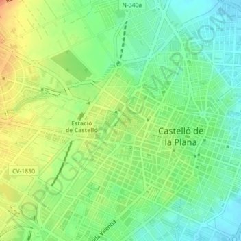
Gear up for your next adventure:

🥾Mountain Hiking Boots - High-traction boots for rocky terrain
🚑Survival Whistle - Signal for help across long distances in mountains
🧦Merino Wool Socks - Moisture-wicking comfort for long-distance hiking
🧭GPS Outdoor Watch - Smart watch for navigation and fitness tracking in nature
🧢Hiking Sun Hat - Wide-brimmed protection for exposed mountain ridges

As an Amazon Associate, this site earns from qualifying purchases at no extra cost to you.