
Katarmal topographic map
Click on the map to display elevation.
About this map
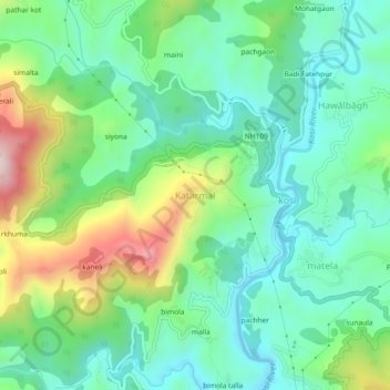
Name: Katarmal topographic map, elevation, terrain.
Location: Katarmal, Almora, Uttarakhand, 263601, India (29.61457 79.59556 29.65457 79.63556)
Average elevation: 1,270 m
Minimum elevation: 1,125 m
Maximum elevation: 1,611 m