
Thank you for supporting this site ❤️
Make a donation
Make a donation
Gear up for your next adventure:
As an Amazon Associate, this site earns from qualifying purchases at no extra cost to you.
Vellarimala topographic map
Click on the map to display elevation.
Thank you for supporting this site ❤️
Make a donation
Make a donation
Gear up for your next adventure:
As an Amazon Associate, this site earns from qualifying purchases at no extra cost to you.
About this map
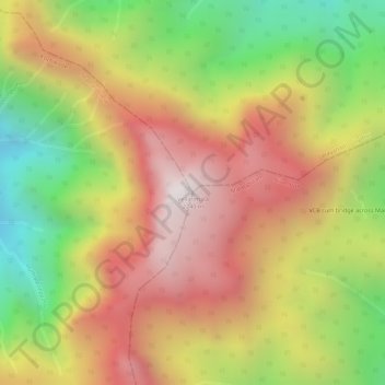
Name: Vellarimala topographic map, elevation, terrain.
Location: Vellarimala, Vythiri, Thamarassery, Kozhikode, Kerala, India (11.45131 76.14329 11.45141 76.14339)
Average elevation: 1,773 m
Minimum elevation: 1,228 m
Maximum elevation: 2,210 m
Thank you for supporting this site ❤️
Make a donation
Make a donation
Gear up for your next adventure:
As an Amazon Associate, this site earns from qualifying purchases at no extra cost to you.