Geolocate

Norway topographic map

Click on the map to display elevation.

About this map

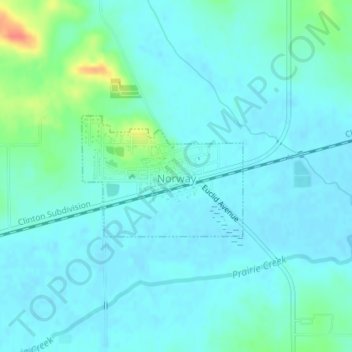
Name: Norway topographic map, elevation, terrain.

Location: Norway, Benton County, Iowa, United States (41.89828 -91.93136 41.90757 -91.91471)

Average elevation: 247 m

Minimum elevation: 237 m

Maximum elevation: 290 m

Gear up for your next adventure:

🧼Travel Hand Sanitizer - Keep hands clean when water is scarce
🧥Softshell Jacket - Windproof and breathable jacket for hiking
🥾Waterproof Hiking Boots - Boots keeping your feet dry in wet conditions
🧴Waterproofing Spray - Restore the DWR coating on jackets and tents
🧢Outdoor Visor - Breathable visor for sunny hikes

As an Amazon Associate, this site earns from qualifying purchases at no extra cost to you.