Geolocate

Don Waterfall topographic map

Click on the map to display elevation.

About this map

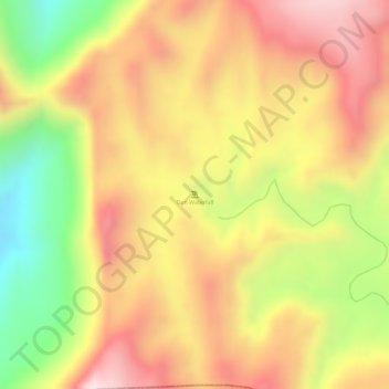
Name: Don Waterfall topographic map, elevation, terrain.

Location: Don Waterfall, Ahava Taluka, Dang, Gujarat, India (20.71452 73.83292 20.71462 73.83302)

Average elevation: 902 m

Minimum elevation: 622 m

Maximum elevation: 1,096 m

Gear up for your next adventure:

🧣Merino Neck Gaiter - Protects against wind, sun, and cold at high altitudes
🛶Kayak Accessories - Essential gear for safe and fun kayaking adventures
💧Filtered Water Bottle - Safe drinking water on the go
💡Solar Camping Lamp - Eco-friendly lighting for campsites
🪑Insulated Seat Pad - Protect your seat from cold rocks and wet logs

As an Amazon Associate, this site earns from qualifying purchases at no extra cost to you.