Geolocate

Rangli Rangliot topographic map

Click on the map to display elevation.

About this map

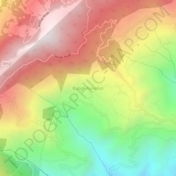
Name: Rangli Rangliot topographic map, elevation, terrain.

Location: Rangli Rangliot, Darjeeling, West Bengal, 734226, India (27.00539 88.32698 27.04539 88.36698)

Average elevation: 1,362 m

Minimum elevation: 626 m

Maximum elevation: 2,044 m

Gear up for your next adventure:

🧶550 Survival Paracord - Versatile utility cord for emergency repairs and rigging
🧢Outdoor Cap - Protective cap for sun and rain during hikes
🚲MTB Frame Bag - Carry tools and maps directly on your bicycle frame
👟Sport Hiking Sandals - Breathable footwear for water crossings and camp rest
🥾Mountain Hiking Shoes - Shoes with superior grip for mountainous terrain

As an Amazon Associate, this site earns from qualifying purchases at no extra cost to you.