
Make a donation
Gear up for your next adventure:
As an Amazon Associate, this site earns from qualifying purchases at no extra cost to you.
Rodgau topographic map
Click on the map to display elevation.
Make a donation
Gear up for your next adventure:
As an Amazon Associate, this site earns from qualifying purchases at no extra cost to you.
Rodgau
Zu den in Rodgau jährlich wiederkehrenden sportlichen Höhepunkten zählen der 50-km-Ultramarathon des RLT Rodgau im Januar, ein Triathlon im August, der 24-Stunden-Lauf im September. Zum jährlichen Drachenfest Ende September reisen Teilnehmer und Besucher aus mehreren Bundesländern an.
Make a donation
Gear up for your next adventure:
As an Amazon Associate, this site earns from qualifying purchases at no extra cost to you.
About this map
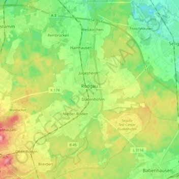
Name: Rodgau topographic map, elevation, terrain.
Location: Rodgau, Landkreis Offenbach, Hessen, 63110, Deutschland (49.95934 8.81881 50.07111 8.94463)
Average elevation: 132 m
Minimum elevation: 100 m
Maximum elevation: 179 m
Make a donation
Gear up for your next adventure:
As an Amazon Associate, this site earns from qualifying purchases at no extra cost to you.