Geolocate

Thasra topographic map

Click on the map to display elevation.

About this map

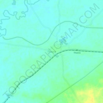
Name: Thasra topographic map, elevation, terrain.

Location: Thasra, Thasra Taluka, Kheda, Gujarat, 388250, India (22.77718 73.19001 22.81718 73.23001)

Average elevation: 61 m

Minimum elevation: 55 m

Maximum elevation: 78 m

Gear up for your next adventure:

Camping Coffee Maker - Brew fresh coffee anywhere on the topographic map
🏕️Camping Hammock - Integrated protection for sleeping between trees
💡Compact LED Flashlight - Powerful and portable flashlight for outdoor use
🧥Waterproof Jacket - Lightweight rain jackets for hiking and outdoor activities
🧶550 Survival Paracord - Versatile utility cord for emergency repairs and rigging

As an Amazon Associate, this site earns from qualifying purchases at no extra cost to you.