Geolocate

Lalganj topographic map

Click on the map to display elevation.

About this map

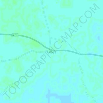
Name: Lalganj topographic map, elevation, terrain.

Location: Lalganj, Pratapgarh, Uttar Pradesh, 230132, India (25.91124 81.68442 25.95124 81.72442)

Average elevation: 101 m

Minimum elevation: 99 m

Maximum elevation: 104 m

Gear up for your next adventure:

🔦LED Headlamp - Hands-free lighting for early morning starts or late finishes
💡Solar Camping Lamp - Eco-friendly lighting for campsites
🕶️Polarized Sunglasses - Reduces glare from snow and water at high elevations
🧤Thermal Hiking Gloves - Grip-enhanced gloves for cold-weather altitude trekking
🥾Lightweight Hiking Boots - Boots for comfort and mobility on long hikes

As an Amazon Associate, this site earns from qualifying purchases at no extra cost to you.