Geolocate

Banpai topographic map

Click on the map to display elevation.

About this map

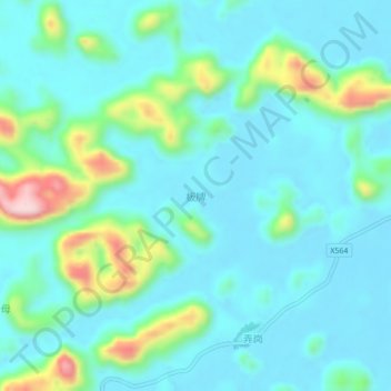
Name: Banpai topographic map, elevation, terrain.

Location: Banpai, Longzhou County, Chongzuo City, Guangxi, China (22.50177 106.95266 22.54177 106.99266)

Average elevation: 239 m

Minimum elevation: 177 m

Maximum elevation: 493 m

Gear up for your next adventure:

🧥Waterproof Pants - Keep dry during rainy hiking conditions
🧦Outdoor Socks - Durable socks designed for hiking and outdoor sports
🛶Canoe Life Vest - Safety vest for water sports
🧥Thermal Layer - Insulating layer for cold outdoor conditions
Camping Essentials - All-in-one gear for a comfortable camping trip

As an Amazon Associate, this site earns from qualifying purchases at no extra cost to you.