
Thiaumont topographic map
Interactive map
Click on the map to display elevation.
About this map
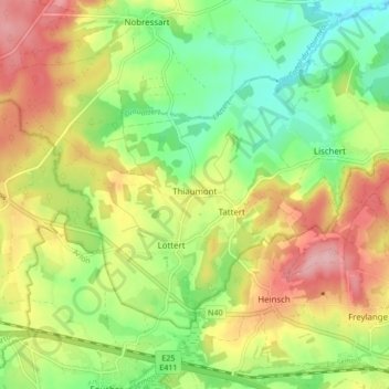
Name: Thiaumont topographic map, elevation, terrain.
Location: Thiaumont, Attert, Arlon, Luxembourg, Wallonie, 6717, Belgique (49.69664 5.69064 49.73438 5.77555)
Average elevation: 364 m
Minimum elevation: 299 m
Maximum elevation: 442 m