Geolocate

Southgate topographic map

Click on the map to display elevation.

About this map

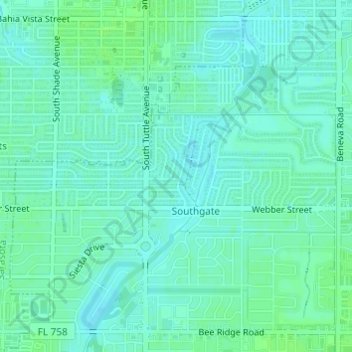
Name: Southgate topographic map, elevation, terrain.

Location: Southgate, Sarasota County, Florida, 34239, United States (27.29868 -82.52594 27.32288 -82.49743)

Average elevation: 9 m

Minimum elevation: 5 m

Maximum elevation: 14 m

Gear up for your next adventure:

🥾Waterproof Hiking Shoes - Durable shoes for wet and rugged trails
🦶Hiking Shoe Insoles - Added support for high arches and long days on feet
🏃Hydration Running Vest - Carry water and maps close to your body for speed
🥾Approach Boots - Comfortable boots for hiking and climbing approaches
🧤Insulated Winter Gloves - Heavy-duty protection for sub-zero Canadian adventures

As an Amazon Associate, this site earns from qualifying purchases at no extra cost to you.