Geolocate

Sinchi Roca topographic map

Click on the map to display elevation.

About this map

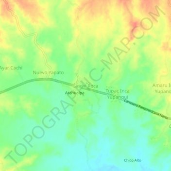
Name: Sinchi Roca topographic map, elevation, terrain.

Location: Sinchi Roca, Tambo Grande, Piura, Perú (-4.90306 -80.45429 -4.86306 -80.41429)

Average elevation: 86 m

Minimum elevation: 64 m

Maximum elevation: 113 m

Other topographic maps

Click on a map to view its topography, its elevation and its terrain.

Rio Piura

Perú > Piura > Tambo Grande > Tambogrande

Average elevation: 96 m

Gear up for your next adventure:

🧊Portable Cooler - Keep food and drinks cold during outdoor adventures
💧Hydration Pack - Hands-free hydration system for long hikes
🥾Approach Boots - Comfortable boots for hiking and climbing approaches
🛌Insulated Sleeping Pad - Critical thermal barrier between you and the cold ground
🧥Waterproof Pants - Keep dry during rainy hiking conditions

As an Amazon Associate, this site earns from qualifying purchases at no extra cost to you.