Geolocate

Selva Verde topographic map

Click on the map to display elevation.

About this map

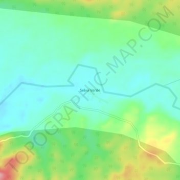
Name: Selva Verde topographic map, elevation, terrain.

Location: Selva Verde, Río Tambo, Satipo, Junín, Perú (-11.20693 -73.62316 -11.16693 -73.58316)

Average elevation: 318 m

Minimum elevation: 276 m

Maximum elevation: 415 m

Gear up for your next adventure:

🛶Waterproof Dry Bags - Keep electronics and clothes dry during river crossings
💡Compact LED Flashlight - Powerful and portable flashlight for outdoor use
🥾Hiking Gaiters - Protect legs and shoes from mud, snow, and debris
🧦Merino Wool Socks - Moisture-wicking comfort for long-distance hiking
🧢Outdoor Visor - Breathable visor for sunny hikes

As an Amazon Associate, this site earns from qualifying purchases at no extra cost to you.