Geolocate

Cicengo topographic map

Click on the map to display elevation.

About this map

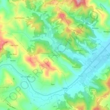
Name: Cicengo topographic map, elevation, terrain.

Location: Cicengo, Odalengo Grande, Alessandria, Piemonte, Italia (45.07543 8.14392 45.11543 8.18392)

Average elevation: 265 m

Minimum elevation: 186 m

Maximum elevation: 417 m

Gear up for your next adventure:

🛏️Camping Sleeping Mat - Comfortable mats for sleeping outdoors
🪑Insulated Seat Pad - Protect your seat from cold rocks and wet logs
📷Outdoor Action Camera - Capture high-elevation views and rugged adventures
🛁Quick-Dry Microfiber Towel - Space-saving towel that dries rapidly on the move
🧢Outdoor Visor - Breathable visor for sunny hikes

As an Amazon Associate, this site earns from qualifying purchases at no extra cost to you.