
Kyaka topographic map
Interactive map
Click on the map to display elevation.
About this map
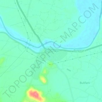
Name: Kyaka topographic map, elevation, terrain.
Location: Kyaka, Missenyi, Kagera, Lake Zone, Tanzania (-1.27230 31.40246 -1.23230 31.44246)
Average elevation: 1,156 m
Minimum elevation: 1,141 m
Maximum elevation: 1,216 m
Other topographic maps
Click on a map to view its topography, its elevation and its terrain.