Geolocate

Castagnaro topographic map

Click on the map to display elevation.

About this map

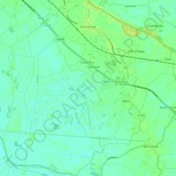
Name: Castagnaro topographic map, elevation, terrain.

Location: Castagnaro, Verona, Veneto, 37043, Italy (45.05307 11.36974 45.13266 11.44689)

Average elevation: 10 m

Minimum elevation: 4 m

Maximum elevation: 18 m

Gear up for your next adventure:

👟Leg Gaiters - Keep debris, mud, and snow out of your boots
👖Convertible Hiking Pants - Zip-off legs to adapt to changing weather conditions
🧴Sunscreen SPF - Broad-spectrum sunscreen for outdoor activities
❄️Traction Ice Cleats - Slip-on spikes for icy trails and winter hiking
🥾Lightweight Hiking Boots - Boots for comfort and mobility on long hikes

As an Amazon Associate, this site earns from qualifying purchases at no extra cost to you.