
Schönefeld topographic map
Interactive map
Click on the map to display elevation.
About this map
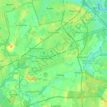
Name: Schönefeld topographic map, elevation, terrain.
Location: Schönefeld, Dahme-Spreewald, Brandenburg, 12529, Deutschland (52.31071 13.41789 52.42108 13.60639)
Average elevation: 44 m
Minimum elevation: 31 m
Maximum elevation: 70 m