Geolocate

Gem topographic map

Click on the map to display elevation.

About this map

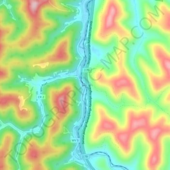
Name: Gem topographic map, elevation, terrain.

Location: Gem, Braxton County, West Virginia, 26335, United States (38.80926 -80.68760 38.84926 -80.64760)

Average elevation: 332 m

Minimum elevation: 226 m

Maximum elevation: 469 m

Other topographic maps

Click on a map to view its topography, its elevation and its terrain.

Flatwoods

United States > West Virginia > Braxton County

Average elevation: 364 m

Sutton

United States > West Virginia > Braxton County

Average elevation: 320 m

Gear up for your next adventure:

🥾Hiking Shoes - Durable and comfortable shoes for trail hiking
🧰Multitool Knife - Compact and versatile tool for outdoor use
🧥Fleece Jacket - Warm and lightweight jacket for layering
🔭Compact Binoculars - Lightweight optics for scouting trails and wildlife
💧Hydration Pack - Hands-free hydration system for long hikes

As an Amazon Associate, this site earns from qualifying purchases at no extra cost to you.