Geolocate

Ocean Springs topographic map

Click on the map to display elevation.

About this map

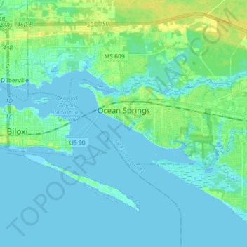
Name: Ocean Springs topographic map, elevation, terrain.

Location: Ocean Springs, Jackson County, Mississippi, United States (30.38120 -88.86184 30.42801 -88.71941)

Average elevation: 4 m

Minimum elevation: -4 m

Maximum elevation: 18 m

Gear up for your next adventure:

🥾Hiking Shorts - Breathable shorts suitable for summer hikes
💧Filtered Water Bottle - Safe drinking water on the go
🧢Sun Protection Cap - Breathable cap to protect from sun exposure
🛌Down Sleeping Bag - Superior warmth-to-weight ratio for cold nights
🛶Kayak Dry Bag - Waterproof storage for kayaking adventures

As an Amazon Associate, this site earns from qualifying purchases at no extra cost to you.