
Thank you for supporting this site ❤️
Make a donation
Make a donation
Gear up for your next adventure:
As an Amazon Associate, this site earns from qualifying purchases at no extra cost to you.
Madukka topographic map
Click on the map to display elevation.
Thank you for supporting this site ❤️
Make a donation
Make a donation
Gear up for your next adventure:
As an Amazon Associate, this site earns from qualifying purchases at no extra cost to you.
About this map
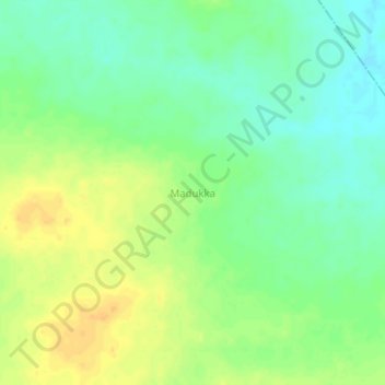
Name: Madukka topographic map, elevation, terrain.
Location: Madukka, Wababe-Salau, Dange-Shuni, Sokoto State, Nigeria (12.83967 5.50592 12.87967 5.54592)
Average elevation: 296 m
Minimum elevation: 282 m
Maximum elevation: 311 m
Thank you for supporting this site ❤️
Make a donation
Make a donation
Gear up for your next adventure:
As an Amazon Associate, this site earns from qualifying purchases at no extra cost to you.