Geolocate

Sentono topographic map

Click on the map to display elevation.

About this map

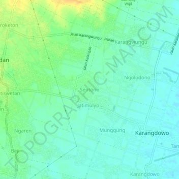
Name: Sentono topographic map, elevation, terrain.

Location: Sentono, Klaten, Central Java, Java, 17468, Indonesia (-7.71852 110.70327 -7.67852 110.74327)

Average elevation: 103 m

Minimum elevation: 94 m

Maximum elevation: 121 m

Other topographic maps

Click on a map to view its topography, its elevation and its terrain.

Sanggrahan

Indonesia > Central Java > Klaten

Average elevation: 150 m

Sungai

Indonesia > Central Java > Klaten > Nanggulan

Average elevation: 113 m

Gear up for your next adventure:

🎒Hiking Daypack - Lightweight and durable backpacks for day trips and excursions
🛁Quick-Dry Microfiber Towel - Space-saving towel that dries rapidly on the move
🥾Hiking Leggings - Comfortable leggings for outdoor activities
🧥Waterproof Jacket - Lightweight rain jackets for hiking and outdoor activities
🧦Thermal Socks - Warm socks for winter hiking or camping

As an Amazon Associate, this site earns from qualifying purchases at no extra cost to you.