Geolocate

Misano topographic map

Click on the map to display elevation.

About this map

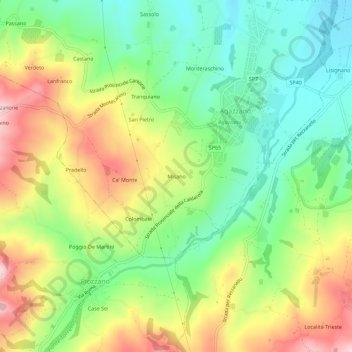
Name: Misano topographic map, elevation, terrain.

Location: Misano, Agazzano, Piacenza, Emilia-Romagna, Italy (44.91818 9.48911 44.95818 9.52911)

Average elevation: 240 m

Minimum elevation: 134 m

Maximum elevation: 390 m

Gear up for your next adventure:

🔨Vehicle Emergency Tool - Safety tool for remote road trips to trailheads
🔦LED Headlamp - Hands-free lighting for early morning starts or late finishes
🧦Merino Wool Socks - Moisture-wicking comfort for long-distance hiking
🧥Thermal Fleece Jacket - Versatile insulation for changing mountain temperatures
🛰️Satellite Messenger - Emergency communication for areas with no cell service

As an Amazon Associate, this site earns from qualifying purchases at no extra cost to you.