Geolocate

Lanang topographic map

Click on the map to display elevation.

About this map

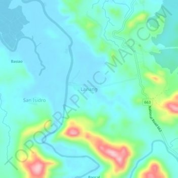
Name: Lanang topographic map, elevation, terrain.

Location: Lanang, Aroroy, Masbate, Bicol Region, Philippines (12.41088 123.35707 12.45088 123.39707)

Average elevation: 40 m

Minimum elevation: 1 m

Maximum elevation: 198 m

Gear up for your next adventure:

🥾Mountain Hiking Boots - High-traction boots for rocky terrain
📷Outdoor Action Camera - Capture high-elevation views and rugged adventures
🥤Collapsible Travel Cup - Saves space and weight in your mess kit
🧥Waterproof Hiking Jacket - Protect yourself from rain and wind while hiking
Camping Groundsheet - Protect your tent from moisture and dirt

As an Amazon Associate, this site earns from qualifying purchases at no extra cost to you.