
Aguaytía topographic map
Click on the map to display elevation.
About this map
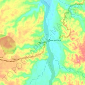
Name: Aguaytía topographic map, elevation, terrain.
Location: Aguaytía, Padre Abad, Ucayali, Perú (-9.07856 -75.54952 -8.99856 -75.46952)
Average elevation: 312 m
Minimum elevation: 262 m
Maximum elevation: 383 m