
Kolayat topographic map
Click on the map to display elevation.
About this map
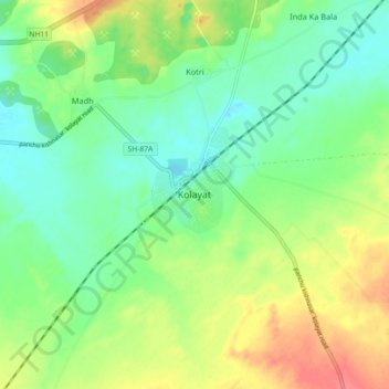
Name: Kolayat topographic map, elevation, terrain.
Location: Kolayat, Kolayat Tehsil, Bikaner District, Rajasthan, India (27.79534 72.91928 27.87534 72.99928)
Average elevation: 237 m
Minimum elevation: 215 m
Maximum elevation: 271 m