
El Naranjo topographic map
Interactive map
Click on the map to display elevation.
About this map
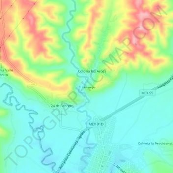
Name: El Naranjo topographic map, elevation, terrain.
Location: El Naranjo, Puente de Ixtla, Morelos, 62665, México (18.61994 -99.34586 18.65994 -99.30586)
Average elevation: 937 m
Minimum elevation: 886 m
Maximum elevation: 1,040 m