
Thank you for supporting this site ❤️
Make a donation
Make a donation
Gear up for your next adventure:
As an Amazon Associate, this site earns from qualifying purchases at no extra cost to you.
Gad topographic map
Click on the map to display elevation.
Thank you for supporting this site ❤️
Make a donation
Make a donation
Gear up for your next adventure:
As an Amazon Associate, this site earns from qualifying purchases at no extra cost to you.
About this map
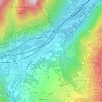
Name: Gad topographic map, elevation, terrain.
Location: Gad, Oulx, Turijn, Piëmont, 10056, Italië (45.02285 6.83109 45.06285 6.87109)
Average elevation: 1,339 m
Minimum elevation: 1,021 m
Maximum elevation: 2,089 m
Thank you for supporting this site ❤️
Make a donation
Make a donation
Gear up for your next adventure:
As an Amazon Associate, this site earns from qualifying purchases at no extra cost to you.