
Vanceburg topographic map
Interactive map
Click on the map to display elevation.
About this map
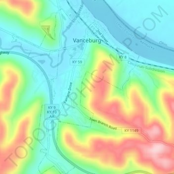
Name: Vanceburg topographic map, elevation, terrain.
Location: Vanceburg, Lewis County, Kentucky, 41179, United States (38.57515 -83.33624 38.60643 -83.30678)
Average elevation: 226 m
Minimum elevation: 151 m
Maximum elevation: 365 m
Other topographic maps
Click on a map to view its topography, its elevation and its terrain.
Burtonville
United States > Kentucky > Lewis County
Burtonville, Lewis County, Kentucky, United States
Average elevation: 254 m