
Ostrowite topographic map
Interactive map
Click on the map to display elevation.
About this map
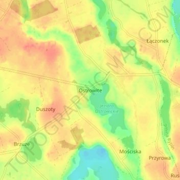
Name: Ostrowite topographic map, elevation, terrain.
Average elevation: 121 m
Minimum elevation: 94 m
Maximum elevation: 139 m
Other topographic maps
Click on a map to view its topography, its elevation and its terrain.
Rypin
Poland > Kuyavian-Pomeranian Voivodeship > Rypin County > Rypin
Rypin, Rypin County, Kuyavian-Pomeranian Voivodeship, 87-500, Poland
Average elevation: 113 m