
Thank you for supporting this site ❤️
Make a donation
Make a donation
Gear up for your next adventure:
As an Amazon Associate, this site earns from qualifying purchases at no extra cost to you.
Runjevača topographic map
Click on the map to display elevation.
Thank you for supporting this site ❤️
Make a donation
Make a donation
Gear up for your next adventure:
As an Amazon Associate, this site earns from qualifying purchases at no extra cost to you.
About this map
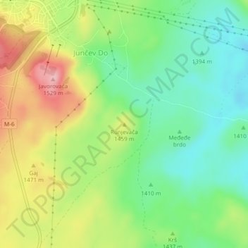
Name: Runjevača topographic map, elevation, terrain.
Location: Runjevača, Junčev Do, Žabljak Municipality, 84220, Montenegro (43.14088 19.13828 43.14098 19.13838)
Average elevation: 1,426 m
Minimum elevation: 1,360 m
Maximum elevation: 1,526 m
Thank you for supporting this site ❤️
Make a donation
Make a donation
Gear up for your next adventure:
As an Amazon Associate, this site earns from qualifying purchases at no extra cost to you.