Geolocate

Sidokumpul topographic map

Click on the map to display elevation.

About this map
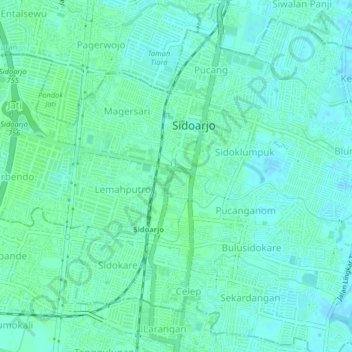
Name: Sidokumpul topographic map, elevation, terrain.

Location: Sidokumpul, Sidoarjo, East Java, Java, 61200, Indonesia (-7.47198 112.69585 -7.43198 112.73585)

Average elevation: 4 m

Minimum elevation: -2 m

Maximum elevation: 7 m

Gear up for your next adventure:

🧥Softshell Hiking Jacket - The perfect balance of wind protection and breathability
🥾Trail Hiking Shoes - Durable shoes designed for rugged trails
☕Camping Coffee Maker - Brew fresh coffee anywhere on the topographic map
📷Outdoor Action Camera - Capture high-elevation views and rugged adventures
🛶Kayak Accessories - Essential gear for safe and fun kayaking adventures

As an Amazon Associate, this site earns from qualifying purchases at no extra cost to you.