Geolocate

Lasundra topographic map

Click on the map to display elevation.

About this map

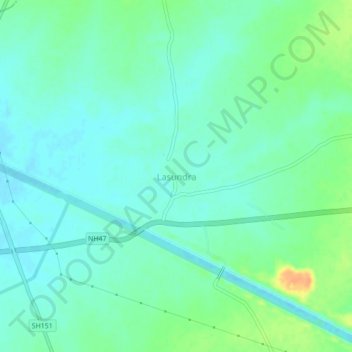
Name: Lasundra topographic map, elevation, terrain.

Location: Lasundra, Kathlal Taluka, Kheda, Gujarat, 387640, India (22.89786 73.12608 22.93786 73.16608)

Average elevation: 79 m

Minimum elevation: 69 m

Maximum elevation: 103 m

Gear up for your next adventure:

🧦Merino Wool Socks - Moisture-wicking comfort for long-distance hiking
🔥Emergency Fire Starter - Reliable ignition source for all weather conditions
🧢Outdoor Visor - Breathable visor for sunny hikes
🪑Ultralight Camping Stool - Compact seating for rest stops during long hikes
🪑Insulated Seat Pad - Protect your seat from cold rocks and wet logs

As an Amazon Associate, this site earns from qualifying purchases at no extra cost to you.