Geolocate

Lapu-lapu topographic map

Click on the map to display elevation.

About this map
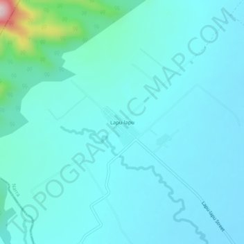
Name: Lapu-lapu topographic map, elevation, terrain.

Location: Lapu-lapu, Narra, Palawan, Mimaropa, 5303, Philippines (9.28138 118.36652 9.32138 118.40652)

Average elevation: 61 m

Minimum elevation: 10 m

Maximum elevation: 439 m

Other topographic maps

Click on a map to view its topography, its elevation and its terrain.

Malatgao River

Philippines > Palawan > Narra

Average elevation: 38 m

Gear up for your next adventure:

🕶️Polarized Sunglasses - Protect your eyes with durable polarized lenses
🔭Compact Binoculars - Lightweight optics for scouting trails and wildlife
🧥Ultralight Puffy Jacket - Maximum warmth that packs down to the size of an orange
❄️Traction Ice Cleats - Slip-on spikes for icy trails and winter hiking
🚲Bike Repair Kit - Essential tools for on-trail mechanical issues

As an Amazon Associate, this site earns from qualifying purchases at no extra cost to you.