Geolocate

Thalli topographic map

Click on the map to display elevation.

About this map

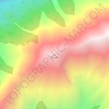
Name: Thalli topographic map, elevation, terrain.

Location: Thalli, Kishtwar, Jammu and Kashmir, India (33.19834 75.98219 33.19844 75.98229)

Average elevation: 3,619 m

Minimum elevation: 2,817 m

Maximum elevation: 4,240 m

Gear up for your next adventure:

🛶Canoe Life Vest - Safety vest for water sports
🦟Insect Repellent - Keep mosquitoes and black flies away in wooded areas
🥾Light Trekking Boots - Supportive boots for multi-day treks
🧥Waterproof Pants - Keep dry during rainy hiking conditions
🧴Bear Spray Holster - Quick-access carry for essential Canadian wilderness safety

As an Amazon Associate, this site earns from qualifying purchases at no extra cost to you.